
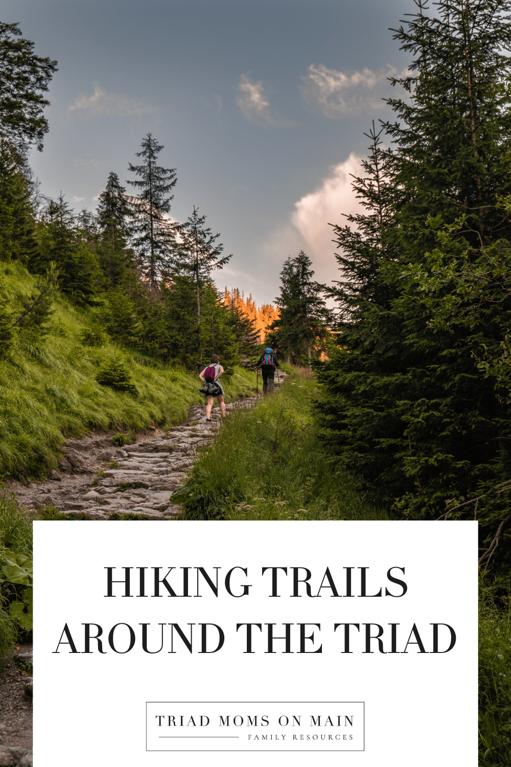
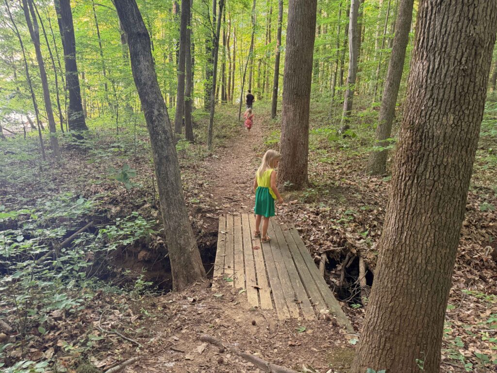
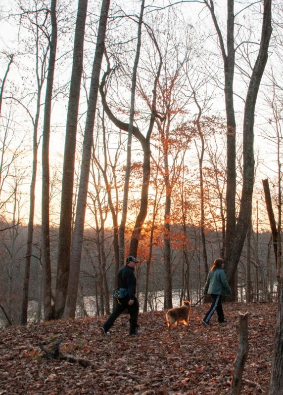
Family-Friendly Hiking Trails in North Carolina (Winston-Salem, Greensboro & Beyond)

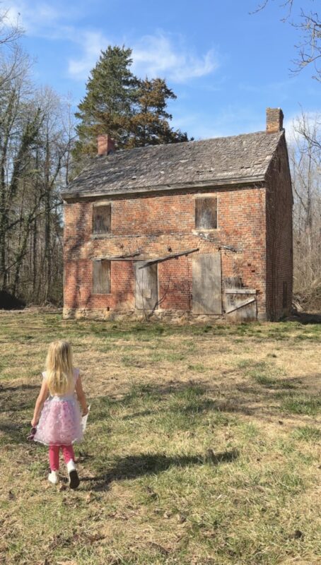
North Carolina truly lives up to its nickname as the “Great Trails State,” with more than 3,000 miles of hiking trails to explore. From flat, paved greenways to challenging mountain climbs, there’s something here for every skill level and interest. One of the things that makes hiking in North Carolina so special is how much you discover along the way. Many trails are rich in history and nature from learning about forestry on the Rendezvous Mountain trails to exploring Moravian roots at Bethania Park.
While many people are familiar with well-known routes like the Mountain-to-Sea Trail, the Appalachian Trail, and trails in Great Smoky Mountains National Park, there are hundreds of lesser-known gems waiting to be explored. In this guide, we’re sharing a mix of scenic and often overlooked hiking trails across North Carolina, including several right here in the Triad and surrounding areas. You’ll find options for all ability levels, organized from easiest to more challenging, so you can choose the perfect trail for your next adventure.
Is your favorite hiking trail missing from the list? Email us and we’ll add it!
Best Hiking Trails in North Carolina
Easy Hiking Trails in the Triad
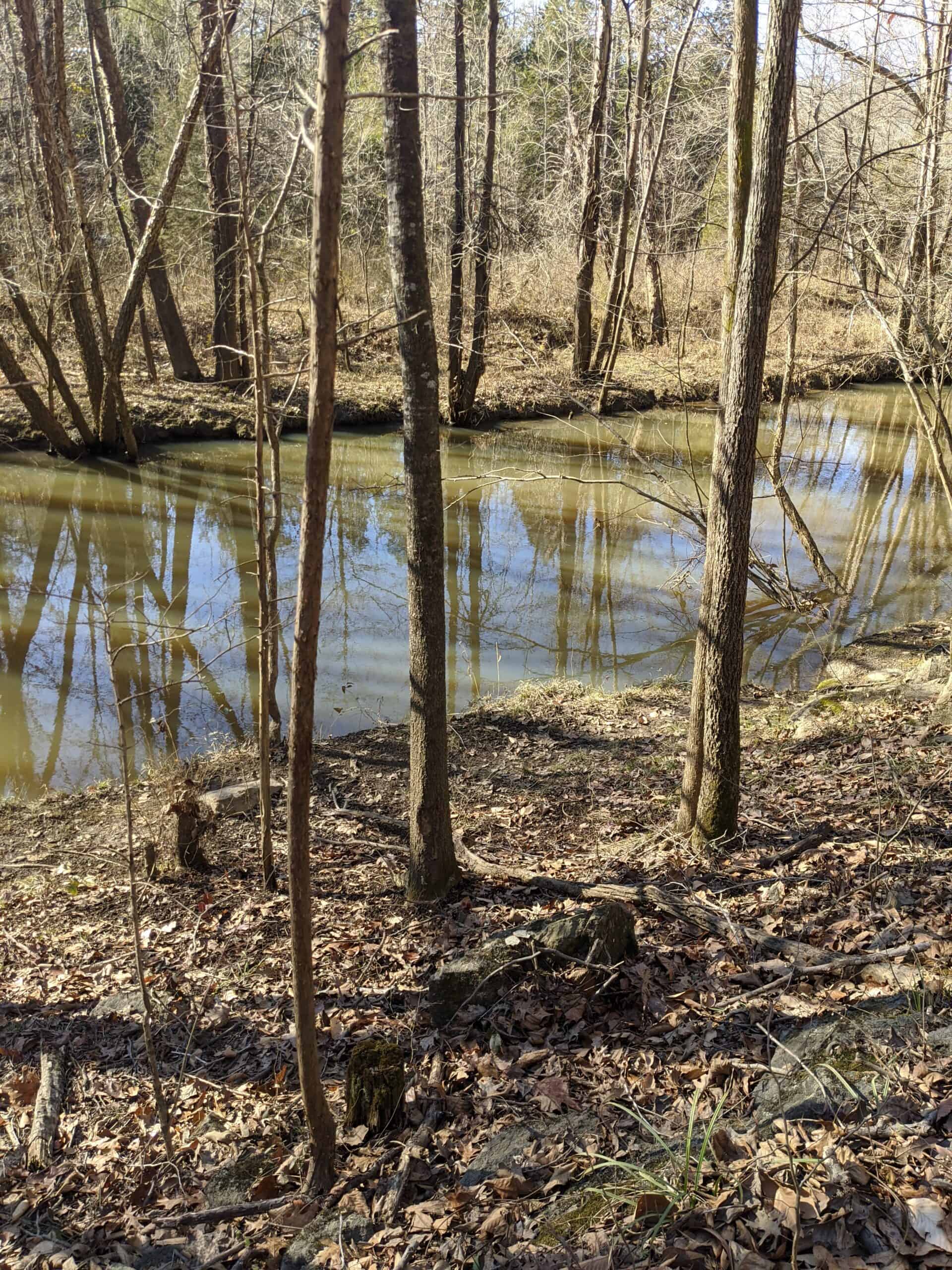
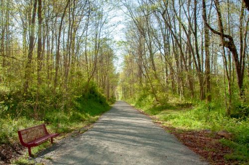
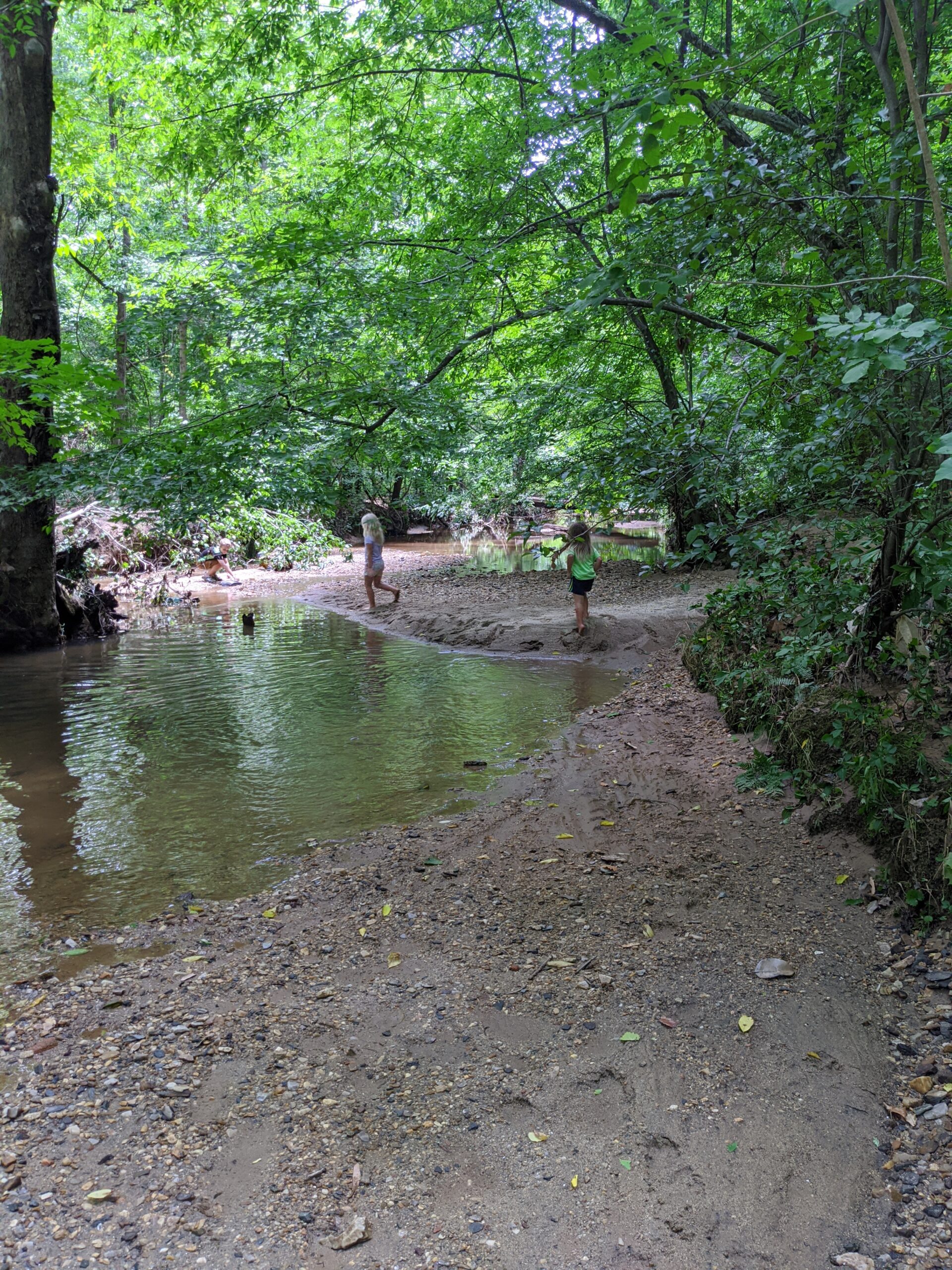
Muddy creek Greenway
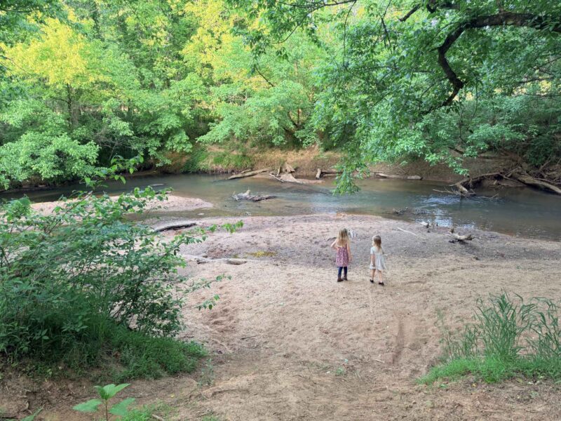
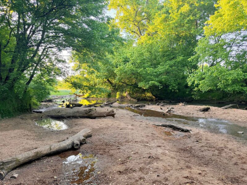
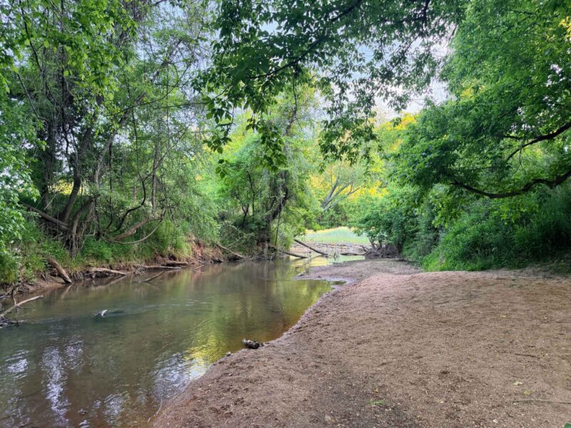
Address: 285 Meadowlark Dr, Winston-Salem, NC 27106
Distance: about .2 miles each way
Difficulty: Easy
Details: Walk from Jamison Park to the Muddy Creek Greenway and take a right. Keep walking until you see a fence along a curve. A little bit down you will see a curved tree and a small dirt trail on the left take a very short walk on that for these views of Muddy Creek. While these pictures were taken we are in a drought. I’m not sure if we just found a pretty area because other pictures it definitely looked a lot more muddy than the clear water we saw. I also saw in images online there is a portion of the greenway you can see horses! For more info on this one check out our post Guide to Muddy Creek Greenway & Jamison Park in Winston Salem
West House Trail
Address / Map : N. Church St. Greensboro, NC
Click Here for our Blog Post on West House Trail
Distance: .8 miles each way
Difficulty: Easy
Details: The West House Trail offers families a blend of nature and history. This 1.7-mile total trail is perfect for a leisurely family outing, providing an easy route that takes approximately 34 minutes to complete. The trailhead begins on the west side of Church Street just north of the Lake Jeannette spillway that feeds into Lake Townsend. The end of the trail leads to an historic home site known as the West House, built between 1815 and 1820. There is a google maps pin linked in the address above that will take you there just fyi it is a little confusing because it says it is on Air Harbor rd., but it is off church street. Unfortunately, there is no parking lot, you just need to pull over in the gravel on the side of church by the trail start.
Townsend Trail
Address: Bryan Park, Greensboro, NC 6102 Southshore rd. ; also accessible from Yanceyville Rd at the Osprey Trailhead parking
Distance: Piedmont Discovery app says 4 mile and All trails says 7.3 miles out-and-back
Difficulty: Moderate
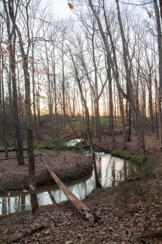
Details: The Townsend Trail is one of the longest hiking-only trails in Greensboro’s watershed system along the southern shore of Lake Townsend, the trail winds through a diverse, mature hardwood forest with rolling terrain, creek crossings, and idyllic lake views around nearly every bend. You might get to see great blue herons, beavers, waterfowl, and deer along with wildflowers, pawpaw trees, and a rich variety of fungi. The trail connects at its western end with the Osprey Trail, making it easy to extend your adventure. As the easternmost of the six watershed trails designated as part of the North Carolina Mountains-to-Sea Trail, it’s a must for any serious local hiker. Be aware of tree roots and uneven terrain, and check ahead for ticks in warmer months. Dogs are welcome on leash.
Farmington Nature Park

Address: 1723 Farmington Road, Mocksville, NC 27028
Details/Map: farmingtonnaturepark.org/
Click HERE for TMoM’s Day Trip blog on Farmington Nature Park.
Distance: 1.5 miles
Difficulty: Easy
Details: This easy-going trail flows through the woods and along a creek. There are signs throughout the trail that identify many of the native trees growing there. It is also one of the great NC trails that offers the Kids in Parks adventures. There is a wonderful pavilion that offers a lovely spot to enjoy lunch or snacks. Additionally, there is a Port-a-John near the pavilion. Only advisory, is to watch out for the Frisbee-golf players. Their path lies close to the hiking trail.
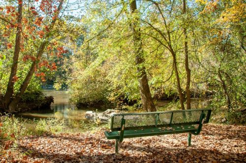
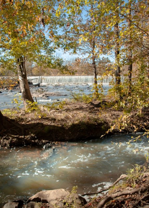
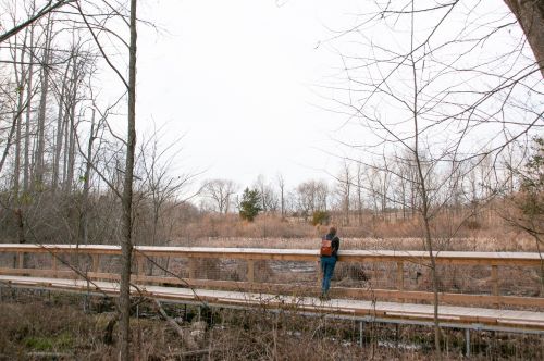
Great Bend Park on the Haw River Trail
Address: 350 Greenwood Drive, Burlington, NC 27217
Details/Map: alamance-nc.com/recreation/outdoors/hrt/great-bend-park
Distance: 3.5 miles
Difficulty: Easy
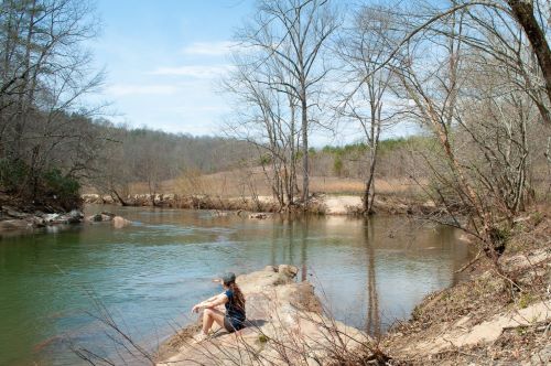
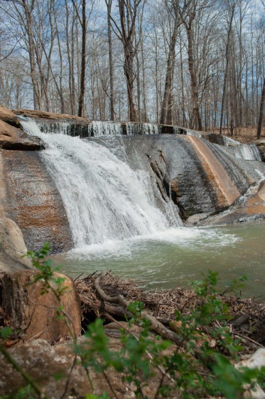
Details: The sights on the trails at Great Bend Park are truly stunning. Yet, it’s the relaxing acoustics of the river pouring over the system of historic dams that take it to the next level. Walking the island trail (pictured) is an astonishingly effective form of stress relief. We all could use some of that right now. Additionally, this area also connects to both the Haw River Trail, a planned 70 mile trail along the Haw, and the Mountains-to-Sea Trail, NC’s long-distance statewide trail. In the end, it’s a wonderful convergence of history and natural beauty- enjoy!
Other Trails on the Haw River:
Indian Valley Paddle Access – 930 Indian Valley Dr. Burlington, NC 27217
Glencoe Paddle Access – 2348 Glencoe St. Burlington, NC 27217
Stoney Creek Marina – 1785 Faulkner Dr, Burlington, NC 27217
*Written and photographed by Brianna Haferman, the Piedmont Legacy Trails AmeriCorps Service Member for 2019-2020
Lake Cammack Trail
Trailhead Parking: 4790 Union Ridge Rd. Burlington, NC 27217. Trail begins behind the marina office.
Hours: Vary seasonally – check webpage for hours. Closed every Wednesday and Thursday.
Trail Distance: 2.4 miles
Trail Type: Out-and-back (1.2 miles out, 1.2 miles back); View map.
Elevation Gain: 115 feet
Restroom: Located at the marina office.
Trail Description: A lightly trafficked trail on a natural surface path. The trail is rolling and wooded with open lake views. When the trail ends at the road, users can turn around and return via the same trail or go right and walk down the road back to the parking area. The trail is used for walking, hiking, and trail running. Dogs are allowed but must be kept on leash. The park also offers ramps for private boat launch, bank fishing, johnboat, a playground, picnic tables, and a shelter available for rent.
Town & Country Park Trails
Trailhead Parking: 2999 Regent Park Lane, Burlington NC 27217. Parking is on-street.
Hours: Every day from sunrise to sunset
Trail Distance: Big Oak Loop: 0.8 miles. Woodhaven Loop: 0.4 miles. Riverside Trail: 0.2 miles
Trail Type: Loops and out-and-back; View map.
Elevation Gain: 147 feet
Restroom: No restrooms
Trail Description: The trails at Town & Country are lightly trafficked and rated as moderate. Combine the Big Oak Trail and Woodhaven Trail for a 1.2-mile, figure-8 loop hike. The trail has some steep, but short hills, follows creeks, has views of the Haw River, and passes through a powerline cut filled with wildflowers in season. On the Big Oak Trail you’ll find one of the biggest red oak trees recorded in Alamance County. Wildlife sightings include white-tailed deer, wild turkeys, box turtles, eastern grey squirrels, hawks, black snakes, and more!
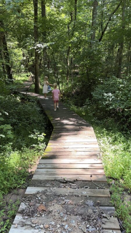
Company Mill Preserve
Address: Western Trailhead: Hagan-Stone Park on the cul-de-sac at the end of Cedar Rd; Eastern Trailhead: 6344 Company Mill Road, Climax, NC 27233
Details/Map: piedmonttrails.org/maps-routes/company-mill-preserve
Distance: 3 miles
Difficulty: Easy
Details: Company Mill Preserve has grown in popularity! With both long boardwalks past beaver dams and higher land of mature forests and an old homestead, the 3-mile trail gives you remarkable variety. What not so long ago was a marshy area that collected a lot of trash has been transformed with tremendous clean-up and trail building efforts into a fun place to explore and a valuable habitat for wildlife. Situated next to Hagan-Stone Park (another wonderful place to hike), the trail has two entrances. First, the trailhead on the West comes out of Hagan-Stone Park. While the one on the East side starts you off at the dam and boardwalks off Company Mill Road.
*Written and photographed by Brianna Haferman, the Piedmont Legacy Trails AmeriCorps Service Member for 2019-2020
School House Trail at Hagan-Stone Park
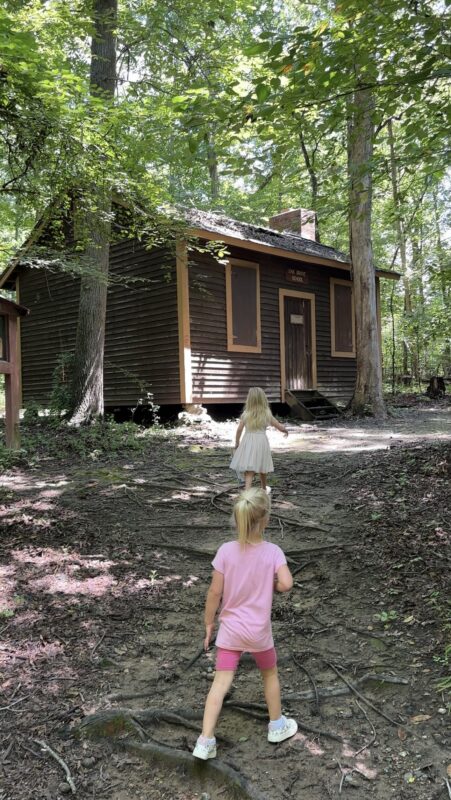

Address: 5920 Hagan-Stone Park Road Pleasant Garden, NC 27313
Details/Map: Hagan-Stone park map
Distance: 0.3-mile loop
Difficulty: Easy
Details: This 0.3-mile loop trail at Hagan-Stone Park in Pleasant Garden, North Carolina (just south of Greensboro). It is an easy route, it takes an average of 6 min to complete. At the end of this trail is an old school house.
Ashley Ladd Trail at Yadkin Memorial Park
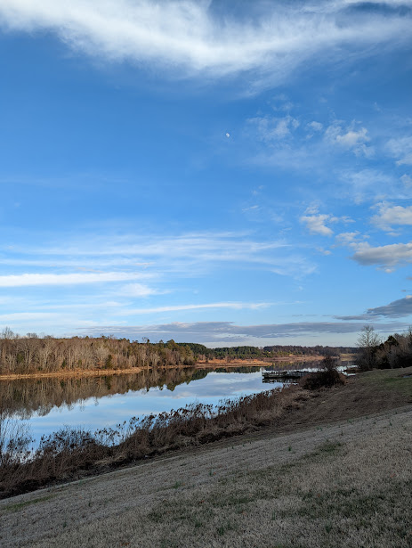
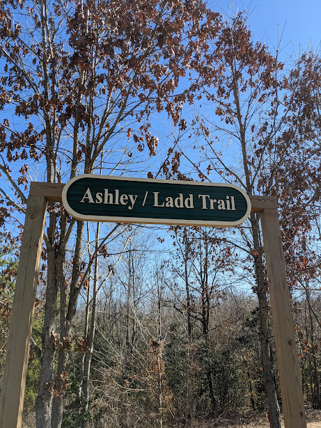
Address: 1142 Crystal Lane, Yadkinville, NC 27055
Details/Map: piedmontland.org/plc-protected-trails/
Distance: 3 miles
Difficulty: Easy
Details: This well-kept secret trail bursts with nature’s beauty! The Ashley Ladd Trail winds through the trees, along the edge of Lake Hampton and all the way to the dam. This trail is great for all ages and popular amongst trail runners. Moreover, dogs love this trail! You will find tree identification signs along the way. Plus, a few benches and fallen trees sprinkled through making nice sit spots. To learn more about this and other trails at Yadkin Memorial Park, visit yadkincountync.gov/407/Yadkin-Memorial-Park.
*Written and photographed by Sandy Harper
Riverbluffs Trail at Hanging Rock State Park
Address: 1258 Flinchum Road, Danbury, NC 27016
Details/Map: piedmonttrails.org/riverbluffs-trail-at-hanging-rock-state-park
Distance: 1.3 mile loop
Difficulty: Easy
Details: Did you know we had these gorgeous cliffs in the Piedmont? With all those mountain tops to explore in Hanging Rock State Park this trail seems to get left behind. Honestly, it is criminally underrated. The trail explores the Dan River, and the views might be enough to make you come back with a kayak. Another pro: With all the conserved land nearby this is a wonderful place to spot wildlife. The Riverbluffs Trail at Hanging Rock is an easy loop with a lot of reward. To learn more about this trail see this blog.
*Written and photographed by Brianna Haferman, the Piedmont Legacy Trails AmeriCorps Service Member for 2019-2020
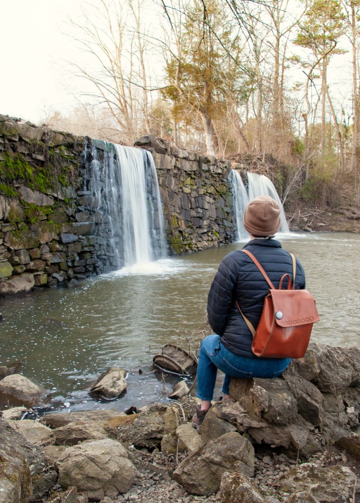
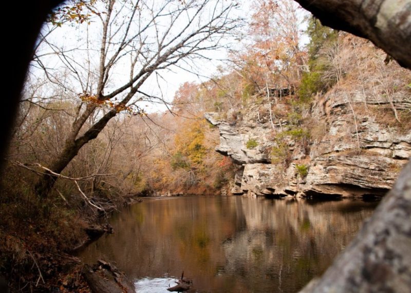
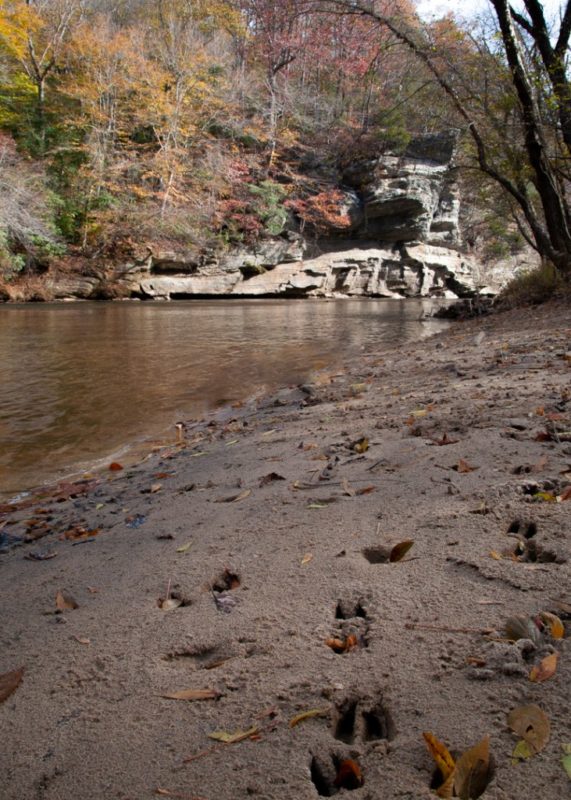
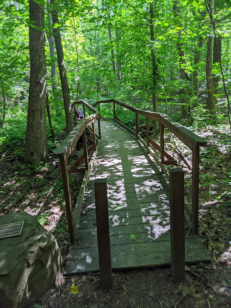
Faith Rock Trail and the Deep River State Trail Franklinville
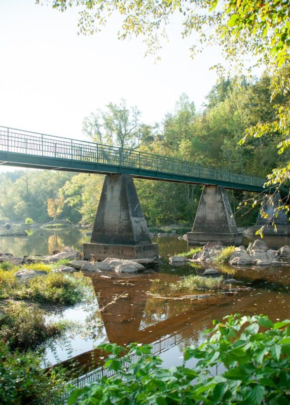
Address: Western Trailhead: 1306 Andrew Hunter Dr, Franklinville, NC; Eastern Trailhead: 435 Rising Sun Way, Franklinville, NC 27248
Details/Map: piedmonttrails.org/maps-routes/faith-rock-trail and piedmonttrails.org/maps-routes/deep-river-state-trail-franklinville-section
Distance: 2.25 miles
Difficulty: Easy
Details: This wonderful combo of trails is a perfect day hike. Faith Rock Trail loops you through a preserve (thanks Piedmont Land Conservancy!) and up onto a 50-foot blue stone outcrop overlooking the river. Just across the historic bridge (pictured) the connecting trail, the Deep River State Trail, leads you down a repurposed rail line through a town park and past an old textile factory. Lastly, you end up in a peaceful forest.
See the map on to plan your trip. The Deep River State Trail is a developing land and water trail with 3 sections of multi-use trail on the ground: Franklinville, Ramseur, and Randleman. It was hard for me not to put the others on this list too! Check them out.
*Written and photographed by Brianna Haferman, the Piedmont Legacy Trails AmeriCorps Service Member for 2019-2020
Guilford County Farm Trails
Address: 7315 Howerton Road, Elon, NC 27244
Details/Map: piedmonttrails.org/trails-at-guilford-county-farm
Distance: 2.8 miles
Difficulty: Easy
Details: The trails at Guilford County Farm are a unique and wonderful hiking experience. As someone who grew up around lots of farmland maybe I am biased by nostalgia. Both the trail along the open fields and the sections that meander through the forest is a reminder of our close connection to land. Not to mention, this trail is second to none for sunset viewing. To learn more about this trail see this blog.
*Written and photographed by Brianna Haferman, the Piedmont Legacy Trails AmeriCorps Service Member for 2019-2020
Bethania Trails

Address: 5393 Ham Horton Ln, Bethania, NC 27010
Details/Map: townofbethania.org/hiking-trails
Distance: 1 to 5 miles depending on trail
Difficulty: Easy
Details: These trails surround the historic Town of Bethania. The community has worked hard to conserve their land (thanks to Piedmont Land Conservancy!). Thus, creating four hiking trails through verdant forests and preserved farmlands. Go back in time as you walk through the old downtown where 4 loop trails start, totaling to almost 5 miles. Reuter Trail follows the creek and Graveyard Trail heads up to and loops behind God’s Acre.
*Written and photographed by Sandy Harper
Fall Creek Falls at Mayo River State Park
Address: 113 Deshazo Road, Stoneville, NC 27048
Details/Map: piedmonttrails.org/mayo-river-trail-at-mayo-river-state-park
Distance: 1.9 miles
Difficulty: Easy
Details: Passing by a gorgeous waterfall and snuggling into a bend of the Mayo River, this trail is all about the (surprisingly blue) water. It’s part of the Mayo River State Park and is located at the very top of the NC border. Though this hike has a bit of distance, it’s mostly flat. Furthermore, on a warm day you’ll be tempted to lie out on the sandy trail and stay a while. To learn more about this trail see this blog.
*Written and photographed by Brianna Haferman, the Piedmont Legacy Trails AmeriCorps Service Member for 2019-2020
Moderate Hiking Trails in the Triad
Guilford Mackintosh Trail
Trailhead Parking: 1345 NC HWY 61, Whitsett, NC 27377
Hours: Varies seasonally – check webpage for hours. Closed every Wednesday and Thursday.
Trail Distance: 0.5, 1, 2 and 3 miles
Trail Type: Loops, View the map.
Elevation Gain: 193 feet
Restroom: Located in Building “B” near trailhead parking or the marina office at the entrance of the park.
Trail Description: A moderately trafficked loop trail on a natural surface path (roots, rocks, leaves, etc) rated as moderate. The trail is rolling and wooded with lake views. The trail is used for hiking, trail running, and mountain biking. Dogs are allowed but must be kept on leash. This trail is good for all levels of hikers with various options to make the trail as short as a half-mile or as long as 3 miles. The park also offers ramps for private launch of non-gas engine boats, bank fishing, johnboat, kayak and canoe rentals, a playground, picnic tables, charcoal grills, and a shelter available for rent.
Laurel Bluff and Reedy Fork Loop
Address: 5900 Lake Brandt rd. Greensboro, NC 27455
Details/Map: Laurel Bluff and Reedy Fork Loop, North Carolina – 317 Reviews, Map | AllTrails
Distance: 7.4 miles (out-and-back)
Difficulty: Moderate – due to distance
Details: The Laurel Bluff Trail weaves along beautiful woodland and wetlands next to the Reedy Fork Creek. This trail is one of six Watershed Trails that is designated as part of the North Carolina Mountains-to-Sea Trail. Also, this is a dog-friendly trail.
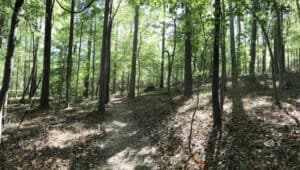
Knight Brown Nature Preserve
Address: 221 Waterfield Lane, Stokesdale, NC 27357
Details/Map: piedmonttrails.org/maps-routes/knight-brown-nature-preserve-trails
Distance: 2.7 miles
Difficulty: Moderate
Details: Located near Belews Lake is a piece of quiet, undisturbed land that not many people know exists. The trail descends into a valley and weaves along with a stream that cuts through the forest floor. Through the 189 acres in Knight Brown Nature Preserve there are 3 trail loops with mild elevation changes. Additionally, kids love playing along the stream and crossing the bridges. Walking all 3 trails gives you a 2.7-mile journey. There are a few sit spots along the trail and picnic tables at the head of the trails.
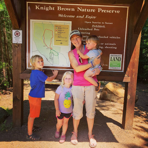
*Written and photographed by Sandy Harper
Boone’s Cave Park
Address: 3552 Boones Cave Road, Lexington, NC 27295
Details/Map: piedmonttrails.org/maps-routes/boones-cave-park-trail
Distance: 0.5 to 7 miles depending on trail
Difficulty: Moderate
Details: Some say this may have been home of the famed Daniel Boone! There are caves along the banks of the Yadkin River that make this park unique. However, the Cottonwood Trail and Red Oak Trail host enormous and gorgeous old trees that are a sight to see. The multiple trails and sights to see make this park perfect for all ages. Warning, if days are rainy, the low areas near the river get quite muddy! To learn more about this off the beaten path park, check out this TMoM Day Trip blog.

*Written and photographed by Sandy Harper
Yadkin River Section of Pilot Mountain State Park
Address: 308 Hauser Road, Pinnacle, NC 27043
Details/Map: files.nc.gov/ncparks/maps-and-brochures/pilot-mountain-state-park-river-section-map-2020.pdf
Distance: 1 to 5 miles depending on trail
Difficulty: Moderate
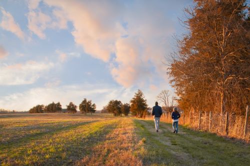
Details: You’ve been to the top of Pilot Mountain too many times – come down to the river instead! Pilot Mountain State Park cares for many acres of land along the Yadkin and these trails don’t see nearly as many visitors. Plus, it’s historic! Along with the gently sloping trails and sandy walk along the river, here you get to see the remains of the attempt to build a canal along the Yadkin in 1820 along Bean Shoals Trail. This trail system walks you through a lot of beauty in any season and it’s become one of my favorite spots in the Triad.
I recommend the loop from Horne Creek to Bean Shoals to Yadkin Islands for a total of 5 miles (See the map). However, if you’re looking for something a bit shorter take the gravel road all the way to the end which takes you right to Bean Shoals trail (0.5 miles), just make sure that your car can make it through 3 creek crossings! *Note that the road to Bean Shoals Trail has been closed recently due to damage. Be prepared to start your hike from the Corridor Trailhead at the address above.*

*Written and photographed by Brianna Haferman, the Piedmont Legacy Trails AmeriCorps Service Member for 2019-2020
*Written and photographed by Brianna Haferman, the Piedmont Legacy Trails AmeriCorps Service Member for 2019-2020.
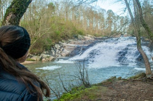
Carter Falls and Powerhouse Trail Loop
Address: Carter Falls Trailhead, Elkin, NC 28621
Details/Map: hikingproject.com/trail/7059416/carter-falls-trail
Distance: 1 mile loop
Difficulty: Moderate
Details: This 60-foot cascading waterfall is establishing itself as a beautiful landmark along the Mountains-to-Sea Trail. Although, this easy-going hike isn’t only about the one waterfall. There are other great views waiting for you here. If you’re looking for more mileage, begin your hike at the Grassy Creek Vineyard (bringing your total to 4 miles) or Isaac’s Trailhead (total of 6 miles).
*Written and photographed by Brianna Haferman, the Piedmont Legacy Trails AmeriCorps Service Member for 2019-2020.
Cedarock Park
Address: 4242 R Dean Coleman Rd, Burlington, NC 27215
Details/Map: alamance-nc.com/recreation
Distance: 0.5 to 5 miles depending on trail
Difficulty: Moderate
Details: The landmark dam of Cedarock Park is only scratching the surface of what these 500 acres of land has to offer. For those living in Burlington, this might not be a new find, but if you haven’t been here, you’re in for a treat. To start with, there’s a gorgeous 5 miles of hiking trail and 6.3 miles of equestrian trail. All the trails here have a secret world to discover. I also suggest taking a stroll through Garrett Historical Farm, and maybe 18-holes of footgolf (yes, that’s like golf with a soccer ball). Consequently, the beauty of these trails have me coming back again and again.
*Written and photographed by Brianna Haferman, the Piedmont Legacy Trails AmeriCorps Service Member for 2019-2020
Cooper Cemetery Trail in the Birkhead Mountain Wilderness
Address: 5527 Lassiter Mill Rd, Asheboro, NC 27205
Details/Directions: piedmonttrails.org/maps-routes/cooper-cemetery-trail
Distance: 1.8 miles
Difficulty: Moderate
Details: The Birkhead Mountain Wilderness- if that awesome name doesn’t have you intrigued, maybe hearing that there’s 5,160 acres of untouched wilderness in the oldest mountains on the continent right in the Triad. First, the Cooper Cemetery Trail is really just an introduction to the over 12 miles of trail that loop through this wilderness area. This trail is relatively new and isn’t on many maps of the Birkhead Mountain Wilderness so please read the description on this map to make sure you find your way. Also, beginning at Robbin’s Branch Trailhead (address above) the trail meanders to a final destination of a Revolutionary War Era Cemetery.
*Written and photographed by Brianna Haferman, the Piedmont Legacy Trails AmeriCorps Service Member for 2019-2020
The Talking Tree Trail at Rendezvous Mountain
Address: 1956 Rendezvous Mountain Road, Purlear, NC 28665
Details/Map: ncparks.gov/state-parks/rendezvous-mountain
Distance: .7 miles
Difficulty: Moderate
Details: On the border of Wilkesboro, you will find Rendezvous Mountain. The mountain’s history is based in the NC Forestry Division. The talking trail educational aspect is under construction as they update older recording devices to QR codes that you scan for more information about the trail. However, you will find informative signs along the trail with a multitude of information. There are five trails on this mountain that total about 5 miles of hiking! Click HERE for more trail information.
*Written and photographed by Sandy Harper
Quick Guide to Hiking in North Carolina
Best Time to Go
Spring and fall offer the best weather, with mild temperatures and beautiful scenery. Fall is especially popular for mountain hikes thanks to vibrant foliage.
What to Bring
- Water + snacks
- Comfortable hiking shoes
- Sunscreen + bug spray
- A downloaded map or trail app
Good to Know
- Many trails are dog-friendly (leash required)
- Weather can change quickly in the mountains
- Arrive early for popular trails to avoid crowds
Strenuous Hiking Trails in the Triad
Uwharrie Trail- Joe Moffitt Trailhead to Jumping Off Rock Trailhead
Address: Thayer Rd, Troy, NC 27371
Details/Directions: alltrails.com/trail/us/north-carolina/uwharrie-trail-from-jumping-off-rock
Distance: 3 miles
Difficulty: Strenuous
Details: This trail takes you both to valley creeks and peak overlooks along the historic Uwharrie Trail. Starting at the Joe Moffitt trailhead, a quick climb leads you to this colorful meadow on the top of Little Long Mountain. It’s the highlight of this stretch and one of the best views in the Uwharries. Next, descend down the mountain to a creek known as Poison Fork which will be your companion before another quick climb. Once again, this hike can serve as your introduction to the wonderful opportunities for hiking in this treasured section of the Piedmont Triad.
*Written and photographed by Brianna Haferman, the Piedmont Legacy Trails AmeriCorps Service Member for 2019-2020
Woody Ridge Trail
Address: Woody Ridge Rd, Charlotte, NC 28273
Details/Directions: Woody Ridge Trail, North Carolina – 298 Reviews, Map | AllTrails
Distance: 5 miles
Difficulty: Strenuous
Details: Woody Ridge Trail is considered highly challenging and is recommended only for experienced adventurers. This is due to its steep and intense elevation gain. Take on this challenge and you will have hiked a trail that is renowned as the most difficult trail in North Carolina.
Other Favorite Hiking Trails in North Carolina
DuPont State Recreational Forest
Address: Staton Rd, Cedar Mountain, NC 28718
Website: dupontstaterecreationalforest.com
Blue Ridge Parkway
Address: The Parkway runs from Virginia all the way to Cherokee, North Carolina. Furthermore, there are beautiful scenery, overlooks, vistas, and trailheads the whole way.
Website: blueridgeparkway.org
Purchase a self-guided car tour of the Blue Ridge Parkway to discover breathtaking vistas, cultural gems, and hidden trails. Explore at your pace!
Mt Mitchell State Park
Address: 2388 N.C. 128, Burnsville, NC 28714
Website: ncparks.gov/mount-mitchell-state-park/home
Stone Mountain State Park
Address: 3042 Frank Parkway, Roaring Gap, NC 28668
Recommended Trail: Widow Creek Falls
Website: ncparks.gov/stone-mountain-state-park/home
Click HERE for TMoM’s Daytrip Blog on Stone Mountain
Elk River Falls
Address: Elk River Rd, Elk Park, NC 28622
Website: fs.usda.gov/detail/nfsnc/home
Laurel Creek Falls (aka Trash Can Falls)
Address: US-321, Boone, NC 28607
Website: easywaterfallhikes.com/boone-blowing-rock/laurel-creek-falls
Hanging Rock State Park
Address: 1790 Hanging Rock Park Rd, Danbury, NC 27016
Website: ncparks.gov/hanging-rock-state-park/home
Visit these blogs featured on TMoM
My View of Hanging Rock State Park
Day Trip Idea: Hanging Rock State Park
Getaway Idea: Cabin Camping at Hanging Rock State Park
Beachin’ It in the Triad
Pilot Mountain State Park
Address: 124 W Main St, Pilot Mountain, NC 27041
Website: pilotmountainnc.org
Click HERE for TMoM’s Pilot Mountain Day Trip blog
Hebron Rock Colony
Address: First, get on the Blue Ridge Parkway at your favorite access point. Then, head to MP 296.5 which is the large picnic area of the Julian Price Memorial Park near Price Lake. Lastly, drive into the picnic area and look for the first set of bathrooms on the left. The trail begins just beyond the bathrooms and is well marked.
Websites: ncwaterfalls.com/hebron1.htm and alltrails.com/trail/us/north-carolina/hebron-falls-via-boone-fork-trail
Click HERE for TMoM’s Daytrip Blog on Hebron Rock Colony
Chimney Rock State Park
Address: 431 Main St, Chimney Rock, NC 28720
Website: chimneyrockpark.com
Click HERE and HERE for TMoM’s Day Trip Blogs on Chimney Rock State Park
Cascade Preserves
Address: 7359 Goodwill Church Rd, Kernersville, NC 27284
Website: guilfordcountync.gov/our-county/county-parks/passive-parks/cascades-preserve
Eno River State Park
Address: 6101 Cole Mill Road, Durham, NC 27705
Website: ncparks.gov/eno-river-state-park/home
Wild Turkey Trail
Address: 5939 Lake Brandt Rd Ste 5839, Greensboro, NC 27455
Website: Wild Turkey Trail, North Carolina – 353 Reviews, Map | AllTrails
Bald Eagle Trail
Address: 4698 Long Valley Rd, Summerfield, NC 27358
Website: Bald Eagle Trail to Lake Higgins, North Carolina – 451 Reviews, Map | AllTrails
“Forest Bathing” Trail at Grassy Creek
Address: 235 Chatham Cottage Ln, State Road, NC 28676
Website: Forest Bathing Trail at Grassy Creek – Yadkin Valley, NC (yadkinvalleync.com)
Frequently Asked Questions About Hiking in the Triad & North Carolina
What are the best easy hiking trails in the Triad?
Some of the best easy trails include Bethania Park and Salem Lake, both offering relatively flat terrain and family-friendly paths.
Are there kid-friendly hiking trails near Winston-Salem?
Yes! Many trails in and around Winston-Salem are perfect for kids, especially those with shorter distances and shaded paths.
When is the best time to hike in the Triad?
Spring and fall are ideal, but many trails can be enjoyed year-round thanks to milder conditions.
What should I bring on a hike?
Water, snacks, comfortable shoes, and weather-appropriate clothing are essential. Bug spray is helpful in warmer months.
Final Thoughts
One of the best things about living in the Triad is how easy it is to get outside and explore. Whether you’re looking for a quick nature walk, a kid-friendly trail, or a more adventurous hike, there are in fact so many great options nearby.
And when you’re ready to venture a little farther, you’ll find that North Carolina’s mountains offer even more unforgettable hiking experiences just a short drive away.
For even more trails that lead to waterfalls, visit our blog “Go Chasing Waterfalls” HERE!
For more tips on hiking, visit our blogs HERE.
More easy walking trails can be found in our “Playground and Walking Trails” directory HERE.
Want to see more blogs like this and get notifications on local events and happenings? Subscribe to our free weekly newsletters here.
-
Running Trails & Greenways in the Triad
My favorite greenways/trails as a Greensboro runner are the Atlantic & Yadkin and Bicentennial Greenways. With so much history…
-
The Ultimate Guide to Ebenezer Park: Camping, Trails, Beach Access & More
If you’re searching for a family-friendly destination that combines camping, hiking, swimming, fishing, and beautiful waterfront views, Ebenezer Park…
-
Fun Things to Do in High Point with Kids
Hey Triad moms, dads, and caregivers! Are you on the hunt for some ways to spend quality time with…