

Mount Mitchell State Park NC: Complete Family Guide (2026)
Last updated: 2026 | By Sarah Marchwiany
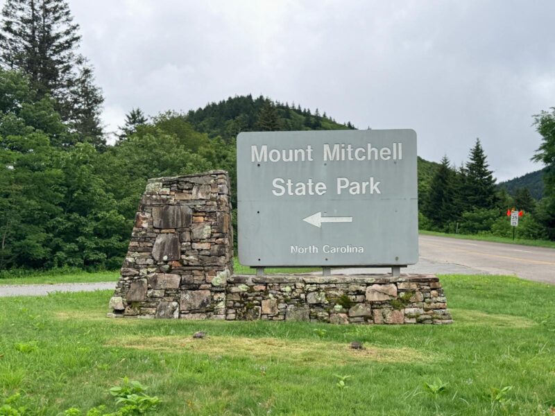
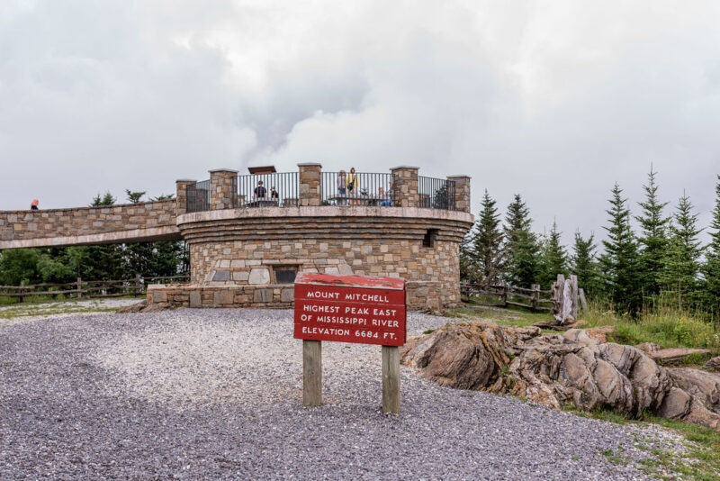
Mount Mitchell is 6,684 feet tall — the highest point east of the Mississippi River. Not just the highest point in North Carolina. Not just the highest point in the Appalachians. The highest point in the entire eastern half of the continent. And you can drive to within a quarter mile of the top.
Located in Yancey County, 30 miles northeast of Asheville, Mount Mitchell State Park was the first of North Carolina’s state parks system. At 6,684 feet above sea level, this 4,800-acre preserve protects one of the most ecologically significant landscapes in the eastern United States. It is free to visit Mount Mitchell State Park. There is no admission fee. The park is open 7 days a week, year round, closed only on Christmas Day.
Address: 2388 State Hwy 128, Burnsville, NC 28714
Phone: (828) 675-4611
Website: ncparks.gov/state-parks/mount-mitchell-state-park
Drive time from Greensboro: Approximately 3 hours 20 minutes
Drive time from Winston-Salem: Approximately 2 hours 50 minutes
Drive time from Asheville: Approximately 35 minutes
Drive time from Charlotte: 2 hours 45 minutes
Drive time from the NC Coast: 6 hours 15 mintues
2026 Access Note: The park is accessible from the Asheville side of the Blue Ridge Parkway only. North of the park, the Parkway is closed. There are no gas stations between Asheville and the park. Fill your tank in Asheville or Burnsville before heading up — you will need enough fuel for a 70-mile round trip on the Parkway.
The History Behind the Summit
The story of Mount Mitchell involves a science professor, a former student who became a U.S. Senator, a rivalry over who measured the peak correctly, and a fatal fall into a waterfall. It’s a genuinely extraordinary piece of North Carolina history.
Elisha Mitchell, a science professor at the University of North Carolina and head of the North Carolina Geologic Survey, set out in 1835 to prove that the highest peak in eastern North America would be found in the Black Mountain range. After several expeditions, Mitchell calculated the elevation at 6,672 feet — only 12 feet below its true height. When his former student and then-U.S. Senator Thomas Clingman disputed his claim in the 1850s, the elderly Mitchell returned to verify his measurements. He died in the attempt — falling into a waterfall on the mountain — and was buried at the summit in 1858. Dr. Elisha Mitchell was interred atop Mount Mitchell in 1858, a year after his death. His grave is visible from the summit.
The range containing Mount Mitchell was formed between 325–260 million years ago. Originally known by Native Peoples as Black Dome for its wide, rounded shape, the summit was named in modern times for Dr. Elisha Mitchell.
Getting There: The Drive Up
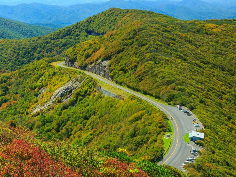 Image via Canva.com
 Image via Canva.com
 Image via Canva.com
Getting to Mount Mitchell means driving the Blue Ridge Parkway — one of the most beautiful scenic drives in the United States in its own right. Mount Mitchell State Park is located approximately 35 miles northeast of Asheville at Milepost 355.4. The entrance to Mount Mitchell State Park is well signed. From the Parkway, it is a 4.5-mile drive to the summit.
The drive up NC Highway 128 from the Blue Ridge Parkway to the summit is narrow, winding, and absolutely spectacular. Allow 20–25 minutes from the Parkway turnoff to the summit parking area, and resist the urge to look at the views while you’re navigating the curves.
Parking: Free. The shady picnic area, the highest in Eastern America, is located at the north end of the summit parking lot. Forty picnic tables, stone grills, and drinking water supply all the essentials. Two picnic shelters with fireplaces are perfect for group picnics.
The Summit Observation Deck
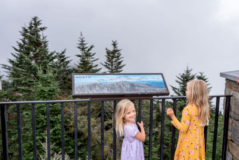

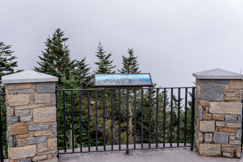

The summit observation deck is the reason most families make the drive, and it delivers completely.
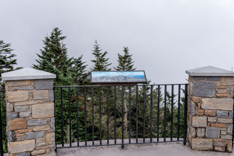
From the summit of Mount Mitchell, there’s an observation deck. On a clear day, you can enjoy spectacular views and see as far as 85 miles. The view is a 360-degree panorama of the Black Mountain Range, the Blue Ridge Mountains, and wave after wave of eastern ridgeline that fades into the distance. Six of the ten tallest eastern peaks cluster within just 15 miles — on a clear day from the summit, you’re looking at the highest concentration of tall eastern mountains anywhere on the continent.
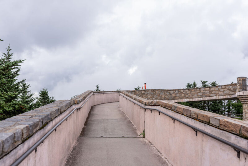
The summit observation deck is accessible via a quarter-mile paved path. It’s ADA wheelchair accessible all the way up — but the trail is uphill. The quarter-mile is steep by accessible trail standards but manageable for most families with young children and for visitors who may not be strong hikers. Allow 10–15 minutes up from the parking area.
What’s at the summit:
- Observation deck with 360-degree views
- Museum and exhibit hall (open May–October)
- Gift shop (open May–October; cash only as of recent reports — confirm before visiting)
- Concession stand with light snacks (open May–October)
- Dr. Elisha Mitchell’s grave, visible from the summit
- Restrooms
The weather at more than 6,600 feet is often 15-20 degrees cooler than in downtown Asheville. Plan accordingly by dressing in layers. The summit area is often covered in clouds — keep an eye on weather forecasts and try to visit when the sky is clear.
Trails at Mount Mitchell
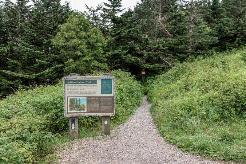
Balsam Nature Trail — The Must-Do Family Trail
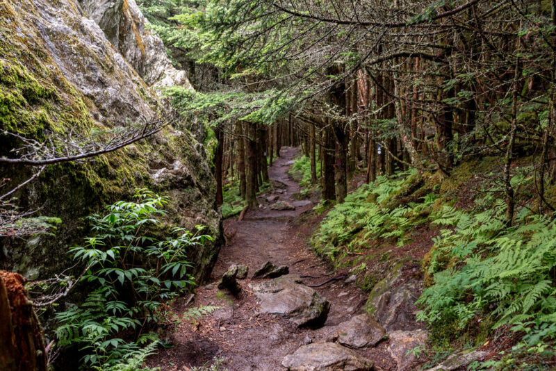
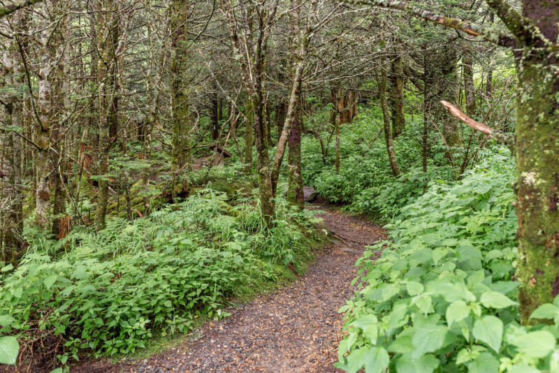
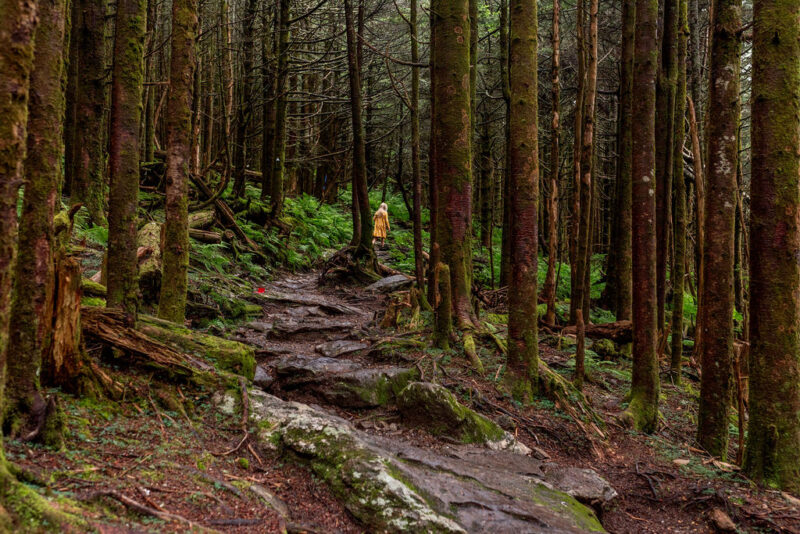
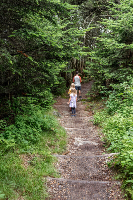
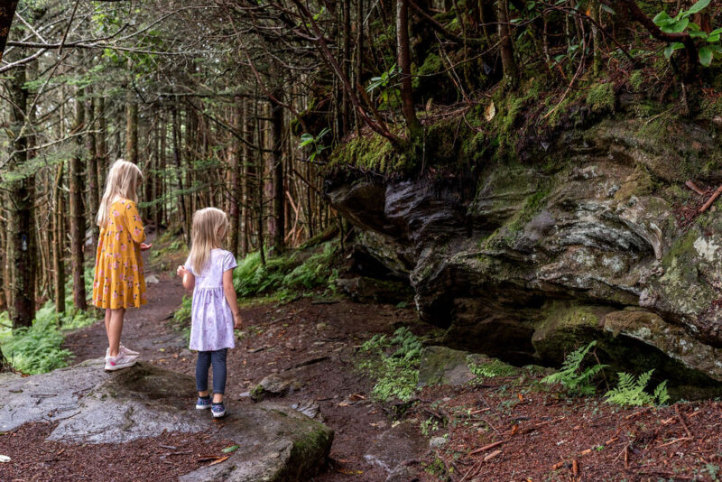
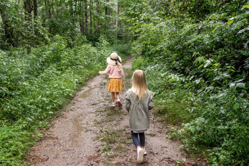
Distance: 0.75 miles (loop) Difficulty: Moderate Starts: Near the observation deck
The Balsam Nature Trail is the trail we recommend for families visiting Mount Mitchell for the first time — and the one we come back to on every visit. Discover the balsam aroma of the Fraser firs on this short trail from the lower summit parking area. A tiny stream located along the trail is the highest spring in eastern America.
The Balsam Nature Trail is nicely shaded and surrounded by beauty in every direction. Informational signs along the way detail the various tree types, common birds, and more. The loop ends on the path up to the observation deck — we typically take the loop and then pop up to the peak before heading down the paved road to the restrooms and concession area.
This is not a typical Piedmont hike. The trees are ancient, mossy, draped in lichen, and shaped by decades of high-altitude wind. The air smells of balsam and cold stone. Children who have only ever walked through Piedmont hardwood forests are often visibly surprised by how completely different this environment feels.
Summit Trail — The Quick Option
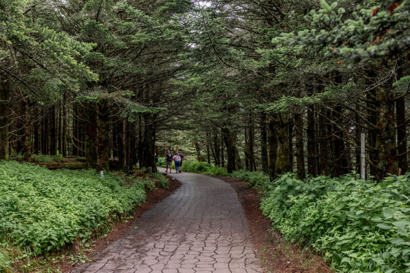

Distance: 0.25 miles (paved, one way) Difficulty: Easy but steep Accessibility: ADA wheelchair accessible
From the summit parking area, take the easy-to-follow paved, handicap accessible path just a quarter mile to the observation deck. While the trail is short, it is steep. But the amazing 360-degree views at the top are well worth the effort.
For families with young toddlers in strollers, those with mobility considerations, or visitors who simply want the summit view without a longer hike, the paved Summit Trail is the answer. It’s short, it’s accessible, and the payoff at the top is the same regardless of how you got there.
Deep Gap Trail to Mount Craig
Distance: 2.1 miles round trip from lower summit parking area Difficulty: Moderate to strenuous
For great views of Mount Mitchell from Mount Craig (6,647 feet, the second highest peak in the eastern United States), take a two-mile round-trip hike through a Canadian-like forest. Deep Gap Trail begins at the picnic area near the beginning of the summit parking area. You will descend Mitchell and climb to the peak of Craig.
This is the trail for families with older kids and teens who want something more substantial than the Balsam loop. The ridgeline view from Mount Craig looking back at Mount Mitchell is extraordinary — and the sense of standing on the second-highest peak in the East while looking up at the highest is a perspective most people never experience.
Experienced hikers can follow the Mountains-to-Sea Trail along the Black Mountain Crest, connecting multiple 6,000+ foot peaks including Mount Craig (6,647 ft), Big Tom (6,581 ft), and Balsam Cone (6,611 ft). This exposed ridgeline traverse offers some of the most spectacular high-elevation hiking in the eastern U.S., though weather can turn dangerous quickly.
Old Mitchell Trail
Distance: 2.2 miles each way (strenuous) Starts: State Park office (lower trailhead)
Instead of driving to the summit, park at the State Park office and hike your way to the top. This strenuous trail travels 2.2 miles each way and was the primary trail for reaching Mount Mitchell during the late 1800s and early 1900s. Hikers should allow about three hours.
Note: As of 2026, Old Mitchell Trail is partially closed — verify current status at ncparks.gov before planning to use this trail.
Mount Mitchell Trail from Black Mountain Campground
Distance: 5.5 miles one way Difficulty: Strenuous — climbs 3,600 feet Starts: South Toe River Road trailhead (outside the park)
The classic summit approach for serious hikers. Not appropriate for families with young children, but one of the great long hikes in the eastern mountains for families with strong teen hikers.
The Picnic Area — America’s Highest Picnic Spot

The shady picnic area, the highest in Eastern America, is located at the north end of the summit parking lot. Forty picnic tables, stone grills, and drinking water supply all the essentials. Two picnic shelters with fireplaces are perfect for group picnics.
Eating lunch at the highest picnic area in the eastern United States is one of those specific, memorable experiences that families talk about long after the trip. Pack something good — baked goods from Appalachian Java in Burnsville for breakfast, sandwiches from Garden Deli for lunch at the summit, or grab from the concession stand at the summit if you’re visiting in season (May–October). Eating at 6,684 feet tastes better than eating at lower elevations. We are prepared to stand behind this claim.
Restaurant, Museum and Gift Shop

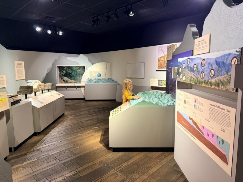
The Mount Mitchell restaurant is located approximately half a mile from the park office. It offers a lodge-like space with simple American fare, including burgers and sandwiches. The restaurant is open until one hour before park closing, May–October. It is ran by the same owner as Pig and Grits in Downtown Burnsville.
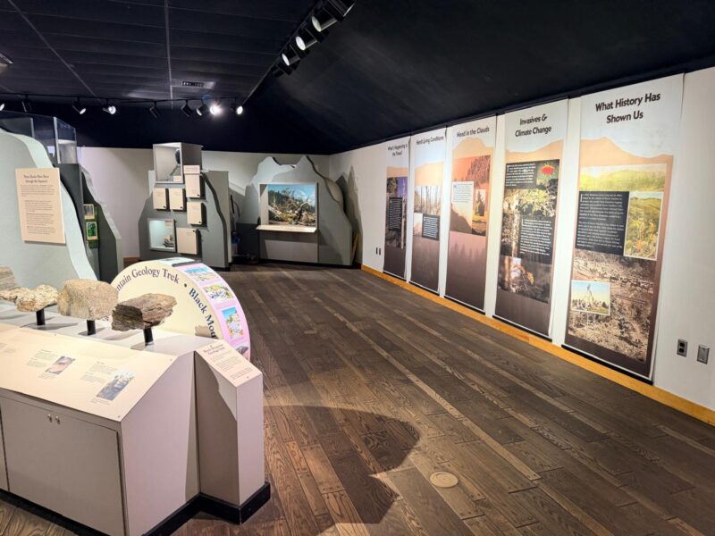
The 1,385-square-foot exhibit hall located near the mountain’s summit features hands-on and replica exhibits offering insight into Mount Mitchell’s natural and cultural history. The museum is open daily May–October. The gift shop offers crafts, books, and other keepsakes. Both are open daily from May–October.
Ecology and Wildlife
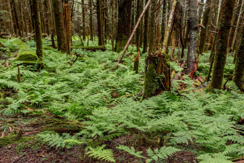

The summit’s spruce-fir forest is a relic of the last Ice Age. This fragile habitat shelters species found nowhere else at these latitudes: the endangered northern flying squirrel, the spruce-fir moss spider (one of the world’s rarest spiders), and dozens of plant species adapted to mountaintop conditions.
Certain subspecies of flora and fauna are found nowhere else. Some migrating birds, including wrens, Carolina chickadees, and slate-colored juncos, have only to travel up and down the mountain with the changing seasons.
Common vegetation includes red spruce, fire cherry, yellow birch, mountain ash, mountain maple, mountain raspberry, red elder, and bush honeysuckle. Keen observers can also spot northern flying squirrels, saw-whet owls, white-tailed deer, striped skunk, bobcats, or gray foxes.
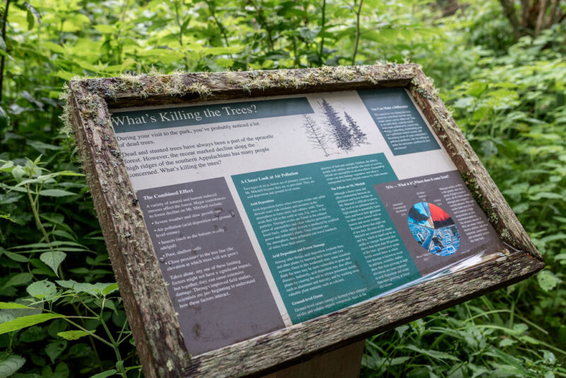
The standing dead Fraser firs visible across the summit slopes tell an important environmental story. A tiny sucking insect, the balsam woolly aphid, killed much of the mature Fraser fir. There is hope that younger trees may develop resistance to the aphid. Air pollution causing acid rain and high ozone levels is thought to compound the crisis, weakening the trees’ ability to withstand natural stresses. The Balsam Nature Trail’s interpretive signs explain this ecological story in a way that resonates with curious kids and adults alike.
Camping at Mount Mitchell
Mount Mitchell maintains 9 walk-in tent campsites at the park’s campground, each accommodating up to six people. Sites include tent pads, picnic tables, fire rings, and grills, with potable water and restrooms nearby. The season typically runs May 1 through October 31.
Important 2026 Notice: The campground is closed for the entire 2025 and 2026 season. Verify current campground status at ncparks.gov before planning an overnight stay.
For lodging near Mount Mitchell, see our Weekend Trip to Burnsville NC guide — the Lodge at Mount Mitchell is typically the closest accommodation to the park, but due to the road closure it takes longer to drive around.
Best Seasons to Visit Mount Mitchell
Summer (June–August): June through August offers the most reliable weather, though afternoon thunderstorms are common. Rhododendron and flame azalea blooms peak in mid-June at the higher elevations, creating spectacular displays. The restaurant, museum, and gift shop are all open. Busiest season — arrive before 10am on summer weekends as the parking lot fills and the park closes the gate at capacity.
Fall (September–October): Late September through mid-October brings spectacular fall color — the summit colors peak 2–3 weeks before the valleys below. One of the most extraordinary fall foliage experiences in all of the eastern mountains. Cooler and less crowded than summer. A strong favorite for families who want a full-season day trip.
Winter (November–March): Visit during the winter! The summit receives an average of 90 inches of snow annually, with snow flurries reported even in summer months of June, July, and August. When the Parkway is passable, a winter visit to Mount Mitchell offers an extraordinary and very different experience — snowfields at the summit, frozen trees, dramatically quiet surroundings, and the kind of genuine alpine winter environment that simply doesn’t exist anywhere else in the eastern United States. The coldest temperature ever recorded in the state, 34°F below zero, occurred here on January 21, 1985. Check road conditions before a winter visit — even when parts of the Blue Ridge Parkway are closed in the winter due to snow and ice, Mount Mitchell State Park is often still accessible.
Spring (April–May): Quieter than summer, wildflowers beginning to emerge, rhododendrons building toward their June peak. A beautiful and undervisited season.
Practical Tips for Visiting Mount Mitchell with Kids
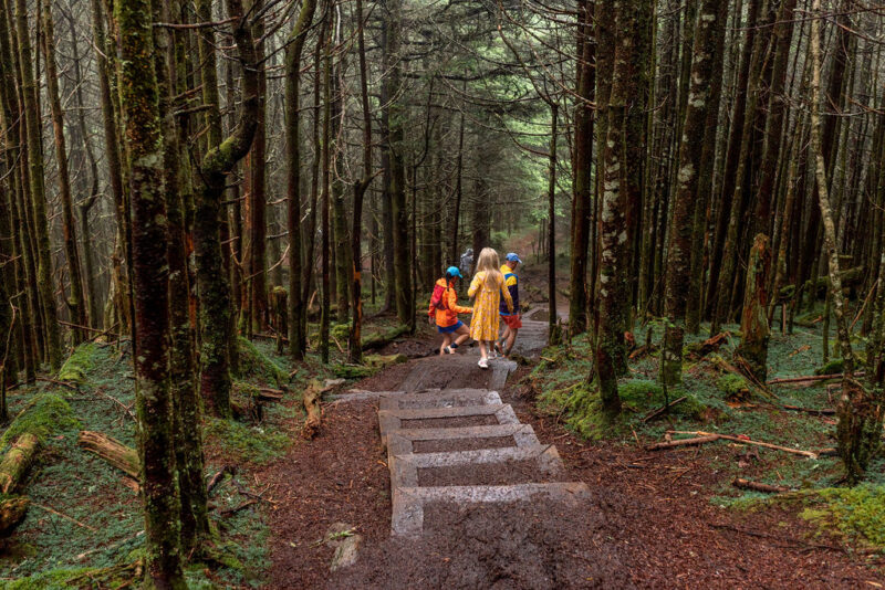
- Bring layers — serious ones. The temperature at the summit is often 15–20 degrees cooler than Asheville. On a 75°F day in Burnsville, the summit may be 55°F with wind. A sweatshirt that felt like overkill in the parking lot at the trailhead will feel essential at the observation deck. Pack a real jacket for everyone, including kids.
- Arrive early on summer weekends. The summit parking lot fills and the park closes the entrance gate when capacity is reached. Arriving before 10am is strongly recommended on busy summer Saturdays and Sundays.
- Pack lunch for the picnic area. Summit dining options (concession stand and restaurant) are seasonal and limited — and the picnic area is one of the best in the eastern mountains. Grab baked goods from Appalachian Java or sandwiches from Garden Deli in Burnsville before you drive up.
- Fill your tank before you go. No gas stations are available between Asheville/Burnsville and the park. You need enough fuel for the full 70-mile round trip on the Blue Ridge Parkway.
- Check the weather forecast. Cloud cover at the summit is common and will block the views entirely. If the forecast shows overcast skies, consider rescheduling — this is a view-dependent destination and the drive is long enough to make a cloudy summit genuinely disappointing.
- Dogs are welcome on leash. Mount Mitchell is dog friendly. Dogs must be on a leash at all times. Not allowed inside buildings.
- The Balsam Nature Trail before the summit view. Our recommended order: walk the Balsam Nature Trail first while legs are fresh, then loop up to the summit deck, then come back down. The trail ends naturally at the paved path up to the observation deck, so the sequencing works perfectly.
- For families coming from the Triad: Mount Mitchell is most naturally combined with a full weekend in Burnsville. See our Weekend Trip to Burnsville NC guide for the complete picture — the Earth to Sky Park, Roaring Fork Falls, glassblowing, and the best restaurants in town pair beautifully with a Sunday morning summit visit and straight-home drive.
Sample Mount Mitchell Day



From Burnsville (30 minutes away): 7:30am — Breakfast in Burnsville (Appalachian Java or Carriage House); pack lunch 8:15am — Depart for Mount Mitchell via Blue Ridge Parkway 10:00am — Arrive; begin the Balsam Nature Trail (0.75-mile loop) 10:50am — Walk the paved Summit Trail to the observation deck 11:15am — Explore summit museum and gift shop 12:00pm — Picnic lunch at the summit picnic area 1:00pm — Optional: Deep Gap Trail to Mount Craig for families who want more hiking 2:30pm — Begin the drive back to Burnsville or straight home.
Reopened: July 2026. Online booking is now available through December 2026. Use Promo Code: LODGESARAH10
Discount: 10% off direct bookings at Lodge At Mount Mitchell
FAQs About Mount Mitchell State Park
Is Mount Mitchell State Park free?
Yes — it is free to visit Mount Mitchell State Park. There is no admission fee. Camping (when open) and facility reservations have fees.
How do you get to Mount Mitchell State Park?
Mount Mitchell State Park is located approximately 35 miles northeast of Asheville at Milepost 355.4 on the Blue Ridge Parkway. The entrance is well signed. From the Parkway, it is a 4.5-mile drive to the summit. Access is currently from the Asheville side of the Parkway only.
How tall is Mount Mitchell?
6,684 feet — the highest point east of the Mississippi River and the highest point in the Appalachian Mountains.
How far is Mount Mitchell from Greensboro?
Approximately 3.5 hours via I-40 West. Mount Mitchell is most naturally visited as part of a Burnsville weekend trip — see our Weekend Trip to Burnsville NC guide for the full picture.
Is Mount Mitchell good for families with young kids?
Yes — the quarter-mile paved Summit Trail is wheelchair accessible and manageable for most families with young children. The Balsam Nature Trail (0.75-mile loop) is the right addition for families who want a bit more without a strenuous hike.
What should I wear to Mount Mitchell?
Layers — always, regardless of the season. The temperature is often 15–20 degrees cooler than Asheville. A warm jacket, closed-toe shoes, and a rain layer are recommended year-round. In winter, dress as you would for skiing.
When is the best time to visit Mount Mitchell?
For views: clear days from June through October. For fall color: late September through mid-October. For a unique experience and snow: winter (when the Parkway is passable). Avoid peak summer weekends without an early-morning arrival — the parking lot fills.
Is the campground at Mount Mitchell open?
The campground is closed for the entire 2025 and 2026 season. Verify current status at ncparks.gov before planning an overnight.
What is the weather like at the summit?
Precipitation on the summit averages 81 inches per year. Heavy winds can be prohibitive, with gusts recorded at 178 mph. The summit receives an average of 90 inches of snow annually — snow is possible from October through April, and snow flurries have been reported even in June, July, and August. Always bring layers and check the forecast before you go.
Looking for more to do in the Burnsville area? See our Weekend Trip to Burnsville NC guide, Mayland Earth to Sky Park guide, and Best Waterfalls in NC guide. For all of western NC, see our Complete Guide to Asheville with Kids and our NC Family Travel Guide.
Subscribe to our free weekly newsletter for the best of the Triad and NC delivered every week.